What does WATSAT do?
 Estimate

WATSAT has a three-layered structure that culminates into a Water Security Index (WSI). The WSI is measured on a scale of 1 to 5, and provides the overall water security situation in the city.
 Inform

WATSAT helps identify the driving forces that have an impact on urban water security. This information will help city authorities decide on suitable solutions to move up the water security ladder.
 Engage

WATSAT is useful for city planners, policy makers, practitioners, and researchers to foster practical interventions for water security enhancement in the city.
Water Security Index (WSI) comprises five dimensions that takes into account the driving forces that have an impact on water security. Each dimension captures unique aspect of water security, and there is minimal overlap among the dimensions.
The five dimensions capturing the broad elements of water security are Water Supply and Sanitation, Water Productivity, Water-related Disasters, Water Environment, and Water Governance. The dimensions are represented by one or more indicators. Each indicator is then measured with the help of specific variables.
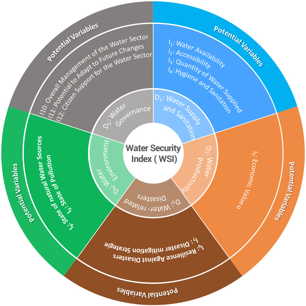
Water Supply and Sanitation

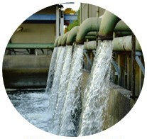
Water Productivity
Water Environment
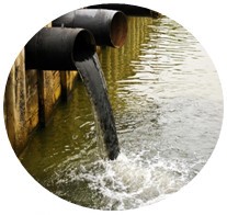
Water- related Disasters

Water Governance
Interested in using WATSAT ?
It's quick and straightforward to get started.